




Explain Proposals with Interactive Maps
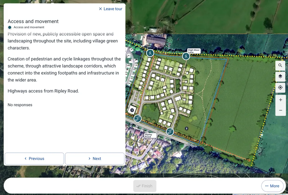
Help residents and stakeholders understand what is proposed, where it happens, and how it affects them. Use interactive 2D/3D maps and guided consultation tours to walk people through proposal layers, Street View, images, video, and key story points, with Revit/BIM or simple massing where it genuinely helps explain scale and key views.
Key Benefits
Make proposals easier to understand
Use interactive proposal maps, Street View, media, proposal layers, and guided consultation tours to help people understand what is proposed and where change happens.
Explain complex schemes without static boards
Walk people through pre-app consultations, regeneration schemes, masterplans, key views, access, public spaces, and design stages without asking them to decode PDFs.
Use 3D when it adds value
Add 3D, Revit/BIM, or simple massing models when scale, views, or design intent need a clearer visual explanation.
Talk to the team
Need to sense-check fit before you self-serve?
Talk to us about delivery approach, internal stakeholders, and whether this workflow is the right fit for your team before you commit to a trial or rollout.