
The benefits of interactive proposal maps in community consultations
Topics
Interactive proposal maps are transforming online planning consultations by shifting discussions online and making planning processes more accessible through visual and interactive means. This online consultation approach offers significant advantages for those who may lack the time or resources to attend in-person meetings and for individuals with disabilities who may find it challenging to participate in traditional consultations.The move toward digital consultations brings new opportunities, but also challenges, particularly when it comes to communicating complex planning proposals. Traditional methods can feel static and overwhelming, leaving participants disengaged. By contrast, interactive proposal maps provide an intuitive, dynamic way to present key information visually, allowing participants to understand and engage with the project details.In this context, interactive proposal maps emerge as a crucial element of a more engaging and proactive online engagement process. These tools help demystify the planning process and facilitate a more dynamic stakeholder interaction.
From its early beginnings, PlaceChangers interactive consultation tool has been focused on interactive and visual approaches and today it's one of the leading providers of interactive consultations.
What are interactive proposal maps in community consultations?
A proposal map is a valuable tool for simplifying community consultation for all participants. It provides an intuitive means of presenting complex information, allowing individuals to engage with it meaningfully. Proposal maps effectively showcase data in an easily digestible format, enabling users to delve deeper into the details they require.

Interactive proposal maps, such as those supported by PlaceChangers, encompass a broad spectrum of information, including proposed site layouts, changes to routes or road configurations, and 3D models of planned developments. Planners and architects can consolidate all design information, transforming it into an interactive consultation.Interactive proposal maps can help planners visually illustrate how proposed traffic alterations might impact pedestrian activity at intersections or how the capacity of one road might be influenced by changes to another. With an interactive map, all these elements can be visualised in one unified space, enabling both planners and community members to access all pertinent information simultaneously. This comprehensive visibility supports informed decision-making regarding potential modifications.
Benefits of interactive proposal maps in consultations
Visualising projects in an engaging and clear manner using interactive proposal maps
Interactive proposal maps make it possible for individuals who may not be familiar with planning processes—or even with using computers—to not only review proposals but also contribute meaningfully to decision-making processes. Many people lack the skills required to navigate complex information presented in formats such as PDFs.The primary advantage here is the enhanced accessibility of the consultation process: those who might otherwise have been excluded from participating can now engage effortlessly by interacting online. This simple, click-based interface invites broader community involvement, making it easier for everyone to have a voice in the planning discussions.
With the increasing popularity of 3D maps, it's even possible to include 3D models in consultations for additional clarity of scale and placement. PlaceChangers can conducted research with Northumbria University which showed that this gave consultation participants greater comfort in their views and resulted in more relevant feedback.
Read more here:
3D proposal maps drive planning consultation for North Tyneside Council
Streamlining communication with interactive proposal maps
Static proposal documents or websites with multiple sections can be disengaging, particularly when not presented in an easily digestible format. People often struggle to comprehend complex proposals, especially if they are presented in a manner that is challenging to navigate. For your audience to grasp the intricacies of your proposal, it is crucial that they can understand how all the parts interconnect.
The primary benefit of interactive proposal maps is their ability to streamline the consultation process by making complex information visually accessible.
This approach not only facilitates the public's review and commentary process but also offers significant advantages for planners. Interactive proposal maps provide a straightforward method to visualise complex relationships between various project components without the need to articulate these relationships in lengthy prose.Utilising interactive maps is an effective way to clearly communicate how different aspects of a community consultation are interrelated and what impact they have on the local community. This method allows participants to visualise the connections and implications of each component, enhancing their ability to engage with and contribute to the consultation process meaningfully.
For example, find out how the design team for Northern Roots created an interactive consultation using site layouts, proposal insets, and models to shape a complex masterplan.
Read more here:
Priorities for UK's largest urban farm set with residents
Encouraging personalised interactions in community consultations
An interactive proposal map enables the audience to delve into the aspects of your proposal that are most relevant to them. This tool is excellent for directing people's attention to the information pertinent to their interests. By doing so, you can provide all the necessary details without overwhelming them with excessive data.If a resident wants to learn more about specific parts of your proposal, they can simply click on those areas to discover what the implications are for their neighborhood or household needs—eliminating the need to sift through pages of irrelevant information.This method not only ensures that individuals receive all the information they need but also minimises cognitive overload by presenting only what is relevant to their specific needs.
Enhancing consultation effectiveness with interactive proposal maps
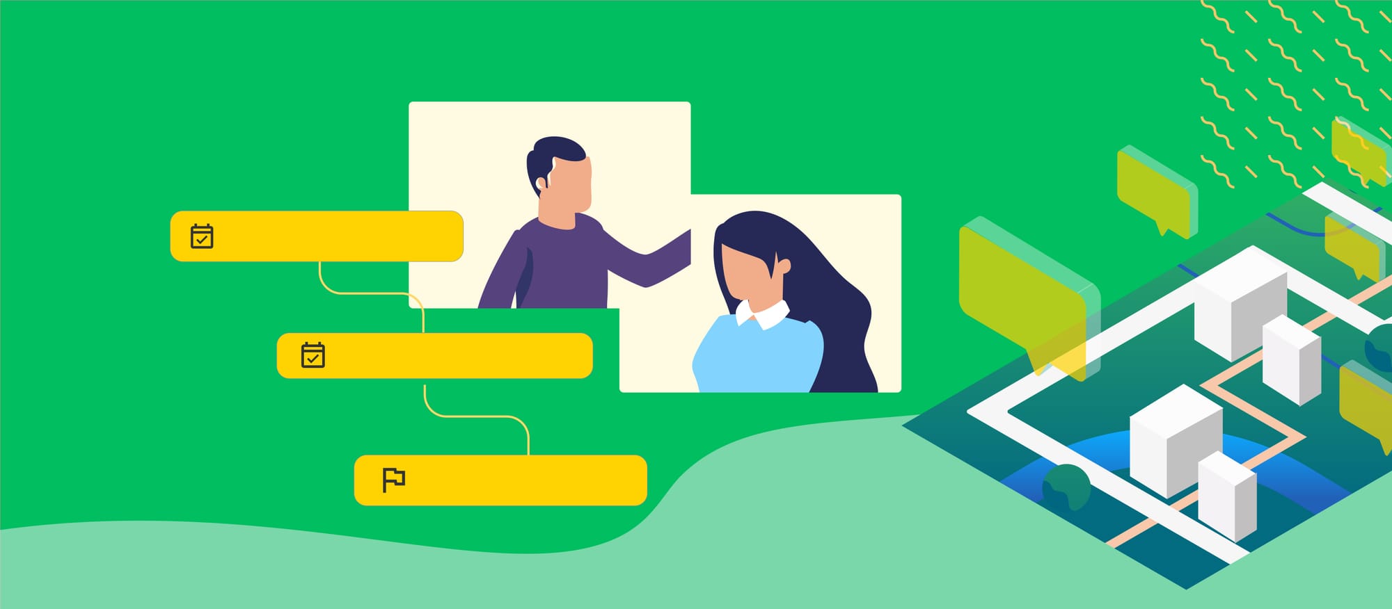
When individuals engage with your consultation in this interactive manner, you receive higher quality, more constructive feedback and a better understanding of each person's perspective on the proposal.
Interactive proposal maps provide an additional method for inviting and documenting responses to the question, "Is there anything else you would like to say or suggest?" During your consultation, utilising an interactive proposal map in your consultation allows you to not only gather feedback on the proposals you've generated but also enables respondents to pinpoint and share their own ideas and suggestions directly on the map.Ability to add ideas directly on the proposal map encourages active participation by allowing users to interact with the map in a way that goes beyond traditional feedback. It empowers community members to contribute creatively and meaningfully, enhancing the consultation process with diverse insights and perspectives.
Building trust and improving outcomes with community input
The outcome of this interactive approach is better planning decisions and a strengthened relationship between planners and the community. This method vividly illustrates how the proposal will impact people's lives, making it simpler for them to see how their needs might be addressed. It also enables planners to gain deeper insights into community opinions on the proposal, which can guide adjustments that more accurately reflect the community's needs.This strategy has proven to enhance planning outcomes by giving all stakeholders a voice in the decision-making process, thereby increasing trust in local government and fostering more effective communication between developers, councils, and communities.
Leveraging proposal maps for more effective community consultations
To ensure that your proposal maps are accessible to everyone—especially those with learning difficulties or who speak another language—consider these tips:
- Make the map easy to understand. Use clear language and avoid jargon wherever possible. The more straightforward your map is, the easier it will be for everyone to access it.
- Review the narrative of your project and organise content accordingly. For example, PlaceChangers allows for the creation of guided tours that highlight key aspects of the proposals, making each element easily accessible from any other part of the map.
- For extensive projects, categorise them into distinct focus areas or projects, providing separate information for each project area. Enhance these maps with additional annotations to facilitate public engagement and interaction on those specific projects or project areas.
- Ensure all imagery is stylistically consistent and adheres to established accessibility standards to promote inclusivity and ease of use.
Conclusions
As discussed, interactive proposal maps in consultations are a great tool that simplifies community consultation for everyone involved.
As more consultations move online, utilising interactive proposal maps makes the consultation process more engaging and productive compared to traditional survey methods. It also increases accessibility for individuals who may not have the time or resources to attend in-person meetings.Platforms like PlaceChangers streamline the process for planners, architects, and designers, enabling them to create powerful interactive proposal maps for their clients. This facilitates impactful consultations on proposed layout plans, enhancing the effectiveness of community engagement.
Explore the PlaceChangers planning toolkit
PC Engagement - market leading planning engagement
Set up powerful map surveys and polls based on the changes that may come up on your estate and prioritise future planning interventions more easily.
Find out more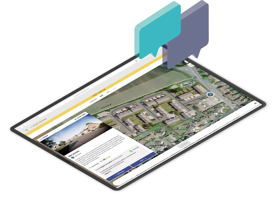
Run interactive community consultations online
Book a demo or start your free trial today.
Start Free TrialGet new articles in your inbox
Subscribe to get more insights like this delivered to your inbox.
Related Articles

From House Types to Housing Evidence: Making Standard Designs Reusable Across Consultations
Enabling housing evidence and better quality designs from resident-feedback on house types.
Managing community consultation across multiple planning projects
The answer is not to make every consultation identical. It is to create a repeatable delivery model that still leaves room for local context.
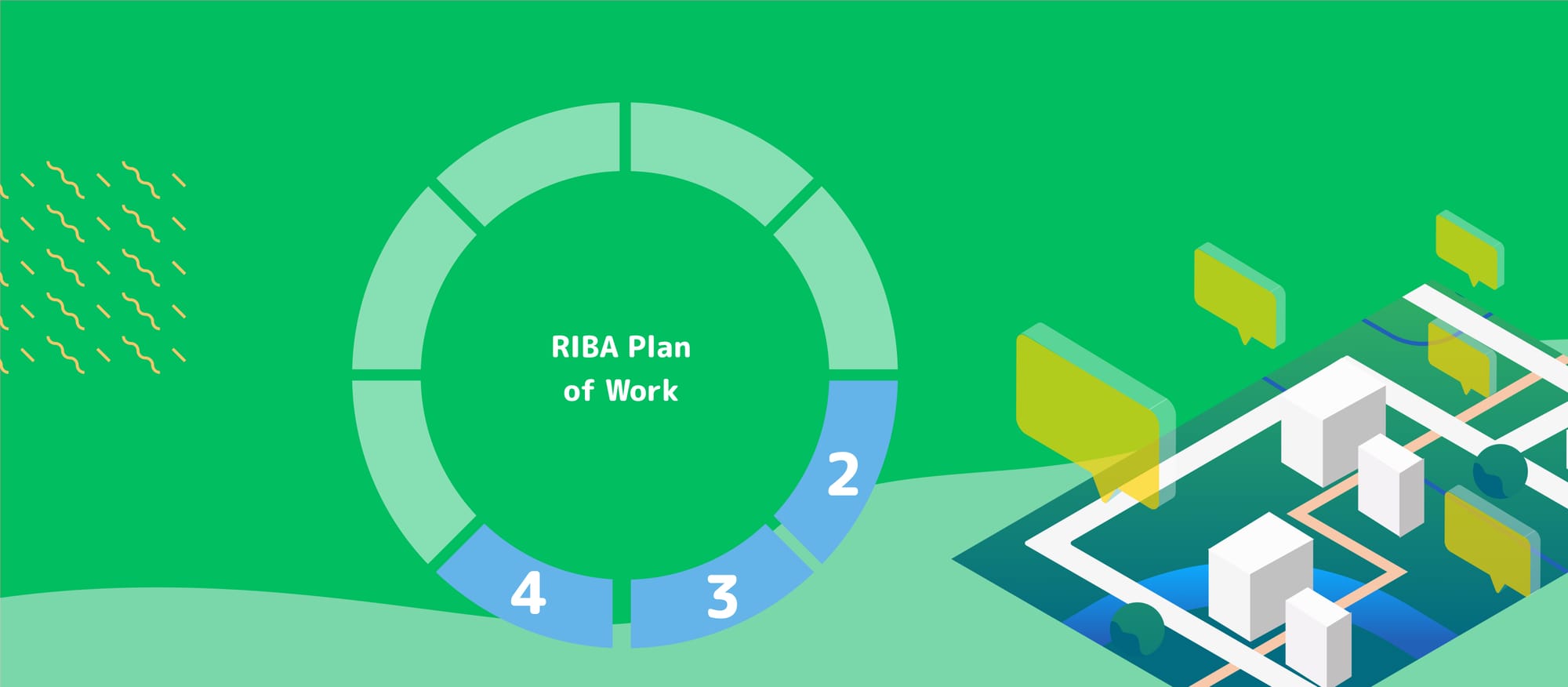
RIBA Stages 2 to 4: digital community engagement tools that actually help design teams
What digital engagement tools are actually useful once the design starts to take shape?